 Hi Boox Popular Magazine 2024
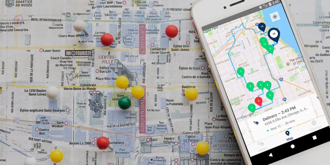
Planning your next road trip with your friends or family members? Make sure that you buckle up, gather all the necessities, and also check different mapping options for your multi-stop journey. No one wants to get tired during their 15+ hour-long ride, which is why multi-stops will suit you for your convenience, yet for a plethora & huge variety of options. Ready to see even more gorgeous towns, landmarks, and wonderful scenery? Keep on reading and understand why & how a map will come in handy.
What does a multi-stop route planner do?
Are you someone who travels a lot? Even more importantly, do you drive your car more often than you book a flight? If so, with the multiple stop route planner you can get the right guidelines that you need. With it, anyone can get to their preferred location within the shortest time possible. People who will benefit the most from this feature are:
- Solo travelers
- Bus and truck drivers
- Couriers
- Larger groups of friend/school trips
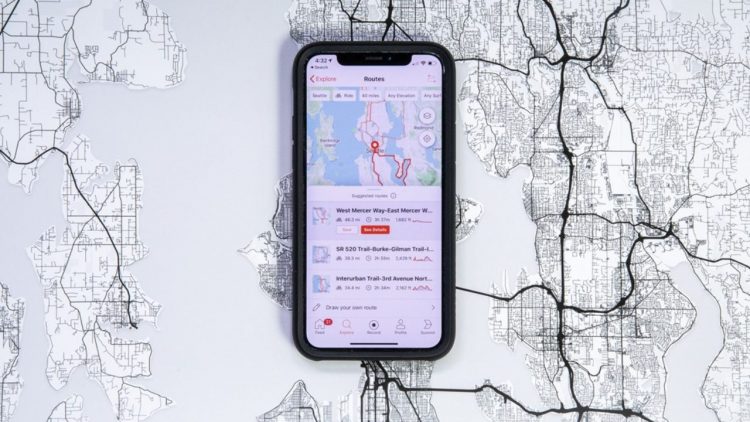
Can you use Google Maps?
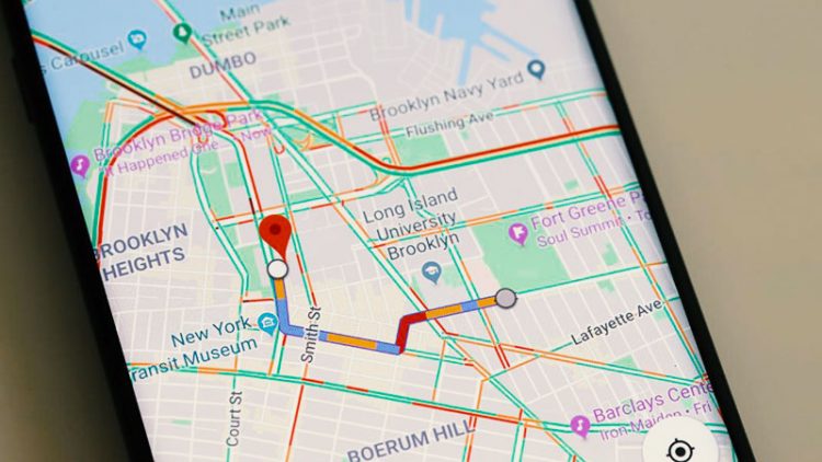
The most common go-to for your navigation properties is Google Maps for people all over the world, and it is the most common go-to tool. With it, you can plan up to 10 stops within one map. However, you have to do it manually and add stop by stop, which can be a time-consuming experience. You won’t end up with something fun or explorer-like since these maps only use simple A to B routing while not taking your wishes or demands into account.
For most people, the best & easiest way is to navigate through your desktop computer, and then forward the driving directions to your Android or Apple iPhone later.
How to create a map conveniently?
Instead of manually inputting delivery addresses one-by-one (which can be a hassle & a time-consuming process), you can get an app that does this process a lot quicker & better for you. The right kind of software will plan the most efficient route automatically. It will connect to your phone or your tablet for easier navigation.
How to use Maptive?
Speaking of those helpful apps, Maptive.com is one of them that you can try out and enjoy its convenience & practicality. It is easy to navigate, and it can help out with the following:
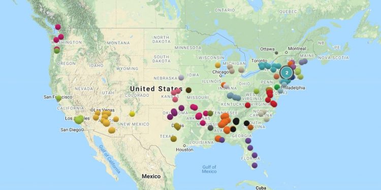
- Helps you find routes with 25 locations with up to 73 stops
- Finds short distance
- Calculates everything for you
- You can change the order of your route with a drag and drop function
- Easy navigation & sort-out process: export your route to file in the form of an Excel spreadsheet
How does Google Maps connect with Maptive?
Maptive’s route planning tool works together with Google Maps. These two perform as a duo to deliver a comprehensive navigational service to its users. Here are the top 4 steps that will help you with your navigation:
Step 1: You need to choose your start point. Type in your location and map it. It can be anywhere in the world, just make sure that you click on the right icon that’s presented to you as you enter your data.
Step 2: Choose all of your preferred locations and those that you wish to visit. Simply click the ”add additional location” feature and create your route.
Step 3: It is time to get your directions. With this feature, everything will be passed onto your personal map for easier viewing. You can enjoy the map on your own or when driving with your friends or family members.
Step 4: If you are not satisfied with a minor detail, now is the time to change it. You can also replace existing directions if your goal is to find the most efficient route.
How are these apps any different than other planners?
When it comes to your route planner, you should know that some key points will determine its performance. Those are:
A) Radius tool: with this, you can select the radius of your chosen size around a given location. Once you do that you will see the proximity and do proper analysis for your next long or short journey.
B) Drive time polygon tool: this tool is quite unique & helpful. With it, you will easily visualize your route and look into the driving distances between locations on your customized map. Ideal for drivers or those who are often running late and who prefer visualization with most of their key tasks.
C) Lasso tool: the perfect piece for your organization. You can highlight your ideal and specific area by sketching it out. Go for unique criteria that will apply only to this piece of land.
Top 3 steps to understand and follow
Step 1: Make sure that you set your driver & vehicle schedules ahead. You will also need to go for all registered warehouse points, landmarks, or parks/malls on your map. These can’t be the most random areas that are not visible or that are impossible to find on your map.
Step 2: Import your order and always look at your location accuracy. Let your app do the rest for you, just make sure that you have it properly organized.
Step 3: Import your data at the end into your sheet map and scan it for ideal properties & nearby landmarks. You can do this with any type of vehicle and enjoy a convenient & fast ride, especially if you work in the logistic center/department.
Ready to make your trip & routes a lot more convenient?
If you’re ready to enjoy a quick & easy route and you’re looking for a convenient option for you, you will enjoy this article, as well as our review of the Maptive! Find your next journey with ease and don’t stress about making it or about any potential deadlines, the map will have your back! You can try out a free trial feature before you commit. Once you are ready to commit, you can choose either the 45-day pass, pro, team, or enterprise option.